


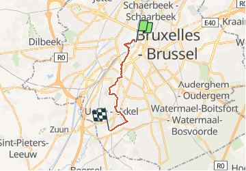

12,8 km | 15,1 km-effort

Utilisateur


Application GPS de randonnée GRATUITE
 SityTrail
IGN / Instituts géographiques
SityTrail World
Le monde est à vous
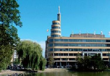
Randonnée Marche de 11,2 km à découvrir à Bruxelles-Capitale, Inconnu, Ville de Bruxelles. Cette randonnée est proposée par Leemans.
Première étape de 11Km sur les chemins de Compostelle par un dimanche matin de bruine et de vent.
Durée 2h24.
Aucune difficulté.


Marche

Marche

Marche

Marche
Marche
Marche

Marche

Marche
Marche